

Description
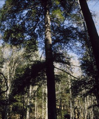
Data collected in 1980 on the soil in the Big Everidge Hollow portion of the Lilley Cornett Woods Appalachian Ecological Research Station in southeastern Kentucky. Data key is provided in a supplemental file.
Publication Date
2017
DOI
10.26890/lcw.4b97vlypkk
Disciplines
Botany | Forest Biology | Forest Sciences | Other Plant Sciences | Plant Biology | Plant Sciences
Recommended Citation
McEwan, Ryan W.; Chapman, Julia I.; and Muller, Robert N.. 1980 Lilley Cornett Woods Soil Data. Data Files: Big Everidge Hollow Permanent Plots [dataset]. https://doi.org/10.26890/lcw.4b97vlypkk
Included in
Botany Commons, Forest Biology Commons, Other Plant Sciences Commons, Plant Biology Commons

Comments
COLUMN KEY FOR SOIL DATA
Notes: For 1980 methods see: Muller, R.N. 1982. Vegetation Patterns in the Mixed Mesophytic Forest of Eastern Kentucky. Ecology 63(6): 1901-1917. For 2001 methods see: McEwan, R.W., R.N. Muller, and B.C. McCarthy. 2005. Vegetation-Environment Relationships Among Woody Species in Four Canopy-Layers in an Old-Growth Mixed Mesophytic Forest. Castanea 70: 32-46.