Lilley Cornett Woods Plot Information and Topography Data

Files

Download

Download data (5 KB)

Download Column key (984 B)

Description

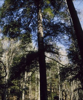
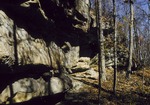
Plot information and topography data collected in the Big Everidge Hollow portion of the Lilley Cornett Woods Appalachian Ecological Research Station in southeastern Kentucky. Data key is provided in a supplemental file.

DOI: https://doi.org/10.26890/lcw.d9c9c1a2t4

Publication Date

2017

DOI

10.26890/lcw.d9c9c1a2t4

Disciplines

Botany | Forest Biology | Forest Sciences | Other Plant Sciences | Plant Biology | Plant Sciences

Comments

COLUMN KEY

  • Header: Description
  • Plot_Name: Plot name indicating topographic position based on aspect (N = North, E = East, S = South) and elevation (U = Upper, M = Mid, L = Lower)
  • Plot_No: Numerical plot ID; ranges from 1 to 80 Community: Dominant overstory community type, as determined by Robert Muller: 1 = Beech, 2 = Mesophytic, 3 = Chestnut Oak
  • Latitude: Latitude coordinates; degrees
  • Longitude: Longitude coordinates; degrees
  • Plot_Radius: Plot radius in meters (m), corrected for slope
  • Aspect: Direction plot is facing; raw measurements in degrees (0/360 degrees is due North)
  • Slope: Slope steepness of plot, measured as percentage of vertical
  • Elev_Alt: Elevation in meters above sea level; measured by Robert Muller with an altimeter
  • Elev_NED: Elevation in meters above sea level; Values obtained from the National Elevation
  • Dataset: U.S. Geological Survey (USGS). 2009. 1/3-Arc Second National Elevation Dataset. Sioux Falls, SD. http://nationalmap.gov

Lilley Cornett Woods Plot Information and Topography Data

Share

COinS