Preview

Document Type
Photograph
Description
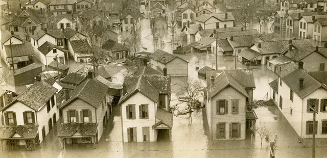
The areas outlined in white and numbered experienced minimal flooding, and hosted refugees. The areas between the Miami River and the areas outline in white experienced the heaviest flooding.
Creation Date
3-26-1913
Repository
University Archives and Special Collections
Repository ID
N-UN-2-20014
Recommended Citation
University of Dayton, "Map of Dayton showing flood and evacuation areas" (1913). Photographs and Postcards. 24.
https://ecommons.udayton.edu/archives_flood_images/24
Keywords
St. Mary's Institute, University of Dayton, 1913 Dayton flood, Floods, Natural disasters


