

Preview
Creation Date
10-26-2021
Description
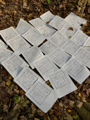
Original hand-drawn field maps created by previous project researchers in the year of 2000. Tree location is relative to each dot or circle drawn, and information like tree height, DBH (diameter at breast height), and species ID were also recorded. Each map represents a 5-meter-by-5-meter quadrat along a transect in the plot.
Keywords
Field work, permanent plot, Hueston Woods
